The EGNOS V3 system, the latest version of the European SBAS being developed by Airbus, successfully passed the initial service performance analysis.
Satellite augmentation systems (SBAS) allow for improving the attributes of navigation protocols. For this purpose, external information is integrated with satellite signals at the time of position calculation. The different SBAS systems deployed worldwide allow, for example, to resemble the minimums of GPS-based approaches to those of the ILS Cat I system without the need for training or RNP certification.
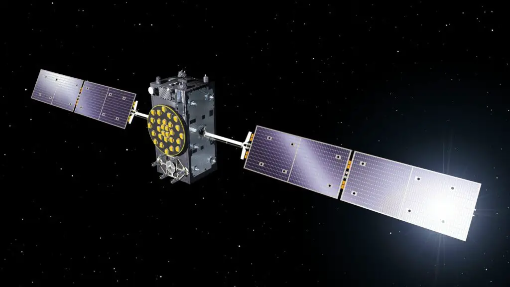
The European Geostationary Navigation Overlay Service (EGNOS) is the European SBAS. This new V3 generation, currently under development by Airbus, will introduce new services using frequencies from multiple satellite constellations (GPS and Galileo). It will also incorporate protection against cyber-attacks.
Related content: Airbus ships first Inmarsat-6 satellite to Japan for launch
The system’s initial performance assessment indicates that the system is sufficiently mature and capable of providing the accuracy, continuity, integrity, and availability required for safe operations. This indicates that it can continue to be used for the provision of navigation services in Europe.
EGNOS was introduced in 2005 and has been in continuous use ever since. The use of the system allows landings in low visibility conditions, regardless of whether airports are equipped with instrument landing systems.
Didier Flament, head of ESA’s EGNOS division, said: «This performance review has demonstrated the benefits that this version, which Airbus is developing, should bring to Europe. The system has met our expectations in all aspects evaluated. We are looking forward to the next steps, as we are confident that it will meet all the requirements».
On the other hand, Hugues de Beco, head of Airbus Commercial Aircraft, noted that «consolidation will be beneficial as it will allow its use in a larger number of destinations.» Regarding the use of the company’s aircraft, the executive pointed out that «we recently achieved certification of the systems on the A320 and A330 families. We will continue to contribute to the development of any system that contributes to safer and more sustainable air traffic».
The joint use of Galileo (the European positioning system) and GPS signals will make it possible to control and correct ionosphere-induced position errors at high latitudes. This will increase service availability in Europe’s periphery.


